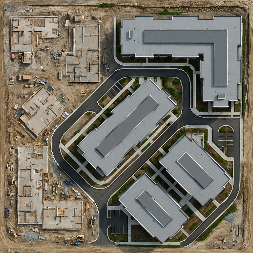
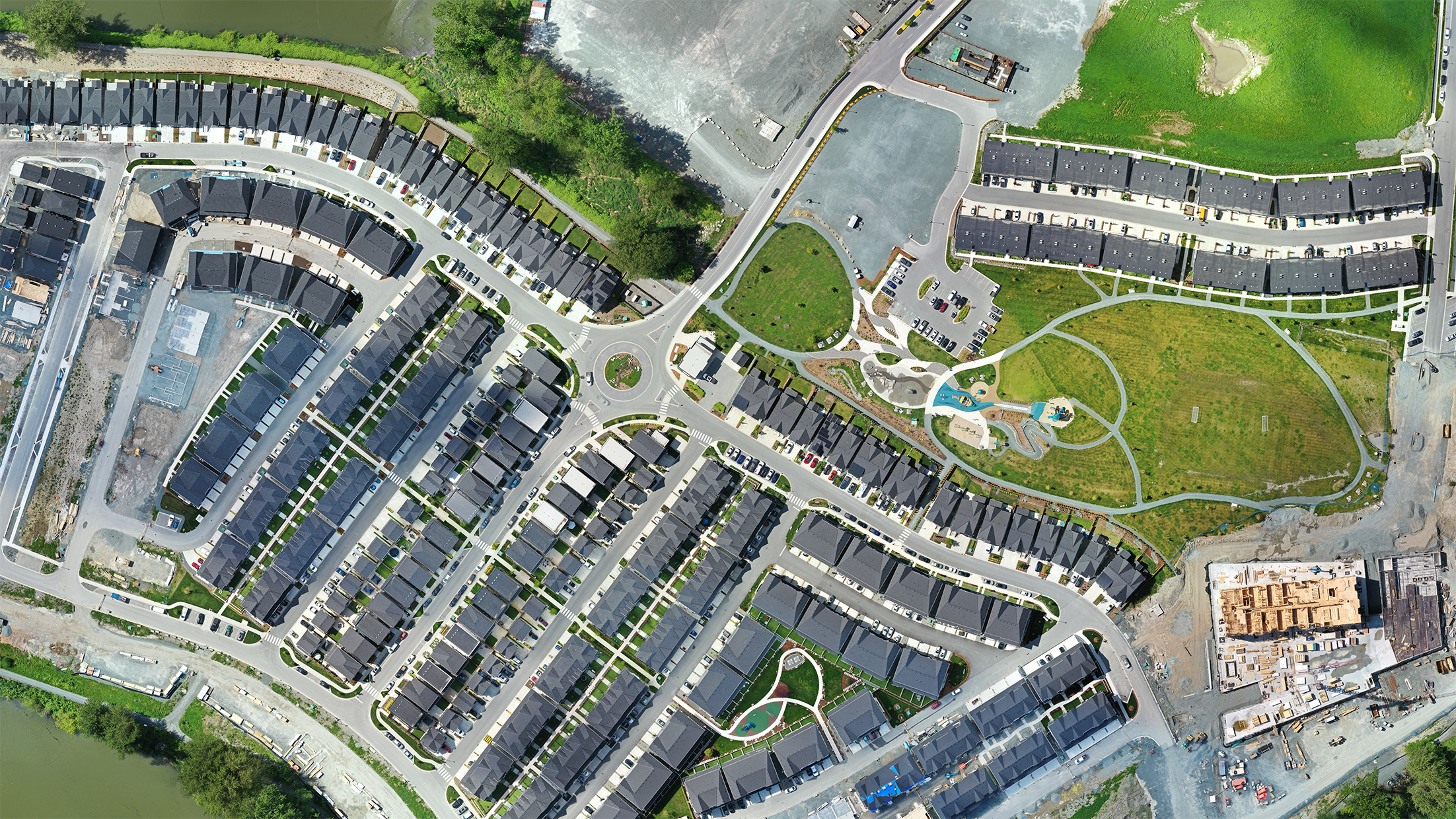
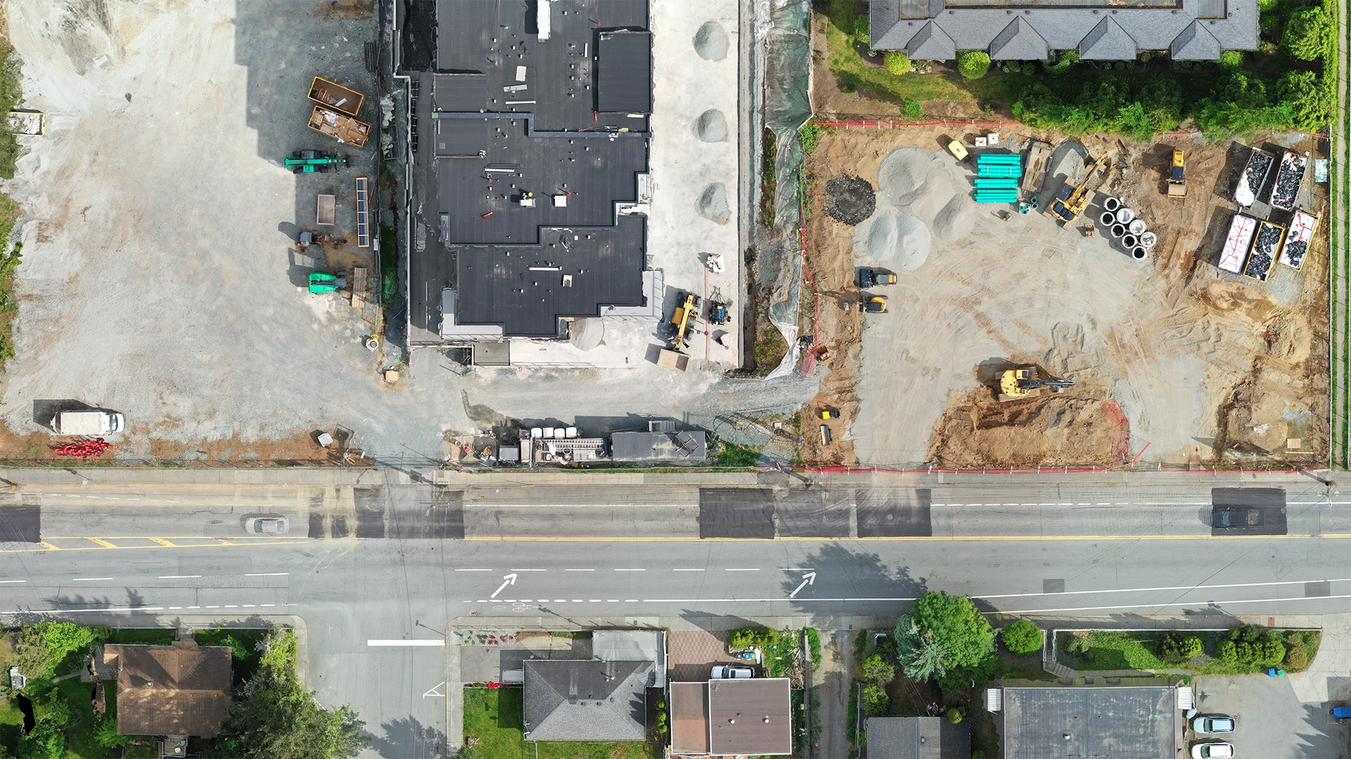
Orthomosaic mapping is the process of capturing many high-resolution aerial photos of an area and digitally stitching them together to create one large, accurate map-like image. These photos are corrected for camera angles and terrain, so everything appears as if viewed directly from above—just like looking at a map. The result is a detailed, true-to-scale image (called an orthophoto) that looks like a photo but has the precision of a map, making it ideal for surveying, planning, and analysis.
The Process of Creating An Orthomosaic Map
Creating an orthomosaic map involves several key steps. First is the flight planning and data acquisition, where drones are programmed to capture high-resolution images of the target area with significant overlap. Next is image stitching and orthorectification, where software integrates these images, correcting for perspective and distortion. Quality control follows, ensuring the accuracy and consistency of the final map. Data extraction involves analyzing and interpreting the map for specific applications.